Statistically based deformation analysis

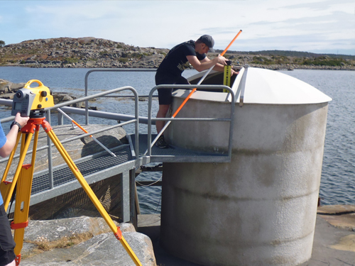
Monitoring measurements are a main task in geodetic engineering to detect changes at technical facilities, like e. g. bridge works or storage dams, or natural objects, like e. g. hillside or coasts. By applying statistical analysis methods, it is proven whether an object has shifted or has deformed. For this purpose, the object is periodically controlled by measurements. Such a measurement campaign is denoted as epoch. To ensure a ratio of about 1:5 between the measurement uncertainties and the expected deformation patterns, generally high precision instruments, like e. g. total stations and levelling instruments, are used within the measurement epochs.
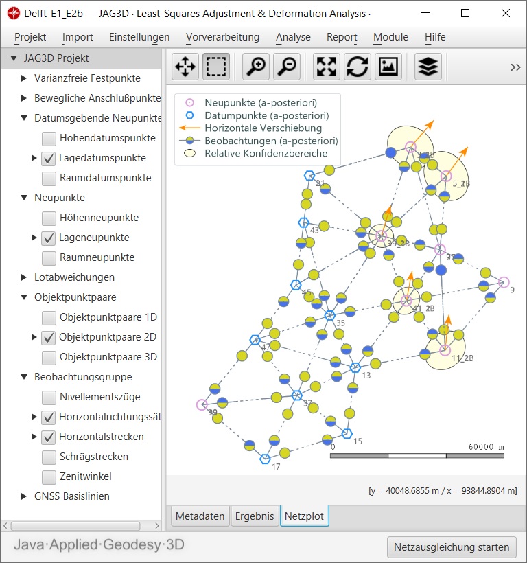
The congruence of a network under consideration can be proven, if at least two measurement epochs are available. Usually, the resulting point sets of the individual adjusted epochs are compared to each other. However, the deformation analysis implemented in JAG3D bases on the observation level. For that reason, the full set of information provided by the measurement epochs are taken into account within the analysis procedure. Rigorous statistical test methods are used to identify individual point shifts but also common shifts or strains of a point group of the network.
