Java·Applied·Geodesy·3D

Global Geodetic Reference Frame

The global geodetic reference system is defined as an Earth-fixed Cartesian coordinate system. The origin is the centre of mass. The X-axis points towards the Greenwich prime meridian. The mean axis of Earth rotation corresponds to the Z-axis. The Y-axis is perpendicular to the X- and Z-axis. The resulting frame is a so-called right-handed frame. Combining the measurements of several space geodetic techniques such as Very Long Baseline Interferometry (VLBI), Satellite/Lunar Laser Ranging (SLR/LLR), Doppler Orbitography and Radiopositioning Integrated by Satellite (DORIS), and Global Navigation Satellite Systems (GNSS) realizes the global geodetic reference system.
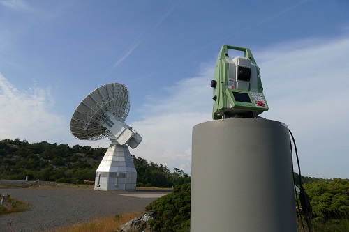
Reference point determination at the Onsala Twin Telescope using a high-precision total station

To obtain a reliable and robust frame, so-called local ties are required. Local ties are derived at multi-technique stations, also known as fundamental stations, and result from high precise terrestrial measurements. Multi-technique stations are national research facilities hosting at least two different space geodetic techniques at the station’s site. The local ties derived at these stations provide the important geometric relation, i. e., the relative position and orientation of the operated space geodetic techniques. The aimed accuracy goal for upcoming global geodetic reference frames is 1 mm in position on a global scale. For that reason, the accuracy requirement for local ties is quite large because local ties are a crucial component within the combination process.
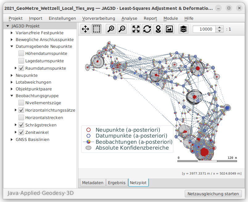
Local Tie Determination at Multi-Technique Stations

Adjustment of the spatial local tie network at the Geodetic Observatory Wettzell using JAG3D

The integrated, hybrid adjustment performed by the JAG3D software package is used to analyze the collected terrestrial observations and to rigorously derive the local ties as well as the related fully populated dispersion not only at national but also at international multi-technique stations. Among others, JAG3D is used for data analysis at the Geodetic Observatory Wettzell, jointly operated by the Federal Agency for Cartography and Geodesy and the Technical University of Munich, and the Onsala Space Observatory, operated by the Department for Space, Earth and Environment at Chalmers University of Technology and supported by the Swedish Science Council as well as the National Land Survey of Sweden.

The spatial network adjustment implemented in JAG3D is performed in the local site network that relates to a global geodetic reference frame. For that reason, the adjusted coordinates of the locale frame can be rigorously converted to the global frame and vice versa. JAG3D's adjusted coordinates as well as the fully populated dispersion-matrix are threaded as new observations to determine reliable local tie vectors at multi-technique stations and to improve obtained global results.

References